

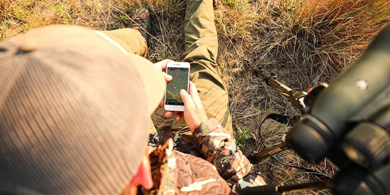
Thanks to affordable GPS technology, getting lost in the wilderness today is a lot harder than it was 20 years ago. An ever-increasing number of seasoned hikers and hunters are ditching their standalone GPS units and instead relying on the smartphones they already own. Phone GPS apps are a supplement to low-tech navigation skills—not a replacement for them—but even so, they're incredibly useful.
In this guide, we'll review a few of the most popular GPS apps currently on the market and offer some beginner-level tips for getting the most out of them.
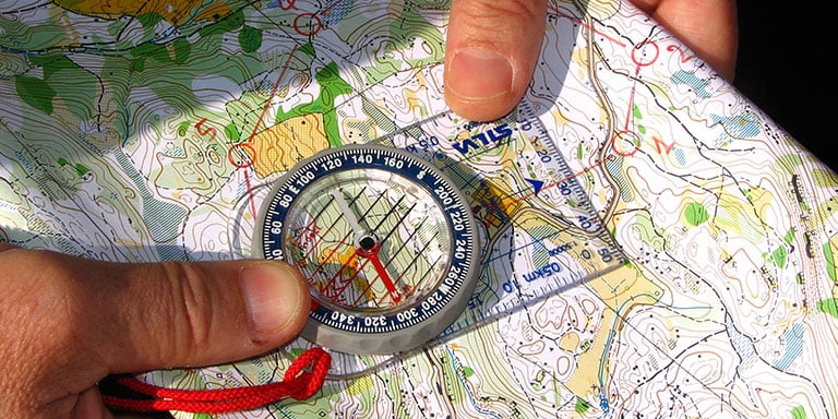
Essential Features of GPS Phone Apps
Most (if not all) phone GPS apps have the same basic features, and you'll need to know how they work in order to use the app effectively.
Map Layers

There are more than a dozen types of maps that outdoorsmen use, but some are more niche than others. In most cases, you'll be able to navigate like an expert if you can access and read four kinds of maps: topographic, satellite, road/trail and land ownership maps.
- Topographic maps display elevation, contours, and major landmarks in remote areas. These are the most common and most broadly useful types of maps. If you can read one of these, you'll be okay in most situations.
- Satellite maps are aerial photographs of a given area, which are handy for confirming that you're actually looking at the forest, river or hill that you think you're looking at. However, satellite maps aren't updated very often and could be several years out of date (using satellites to take photos is hugely expensive).
- Road and trail maps, as the name suggests, show manmade paths or major game trails in the area. Like satellite maps, they're normally updated only once every few years, but this is less problematic because roads and trails don't change very often.
- Land ownership maps are critical for hunters and anyone else exploring near private or government land. It's illegal and/or unethical to hunt, hike or camp on land where such activities are restricted, so be sure to know where you are and what's allowed there.
Most phone GPS apps offer all four of these map layers and more in their paid subscriptions. If your map-reading skills are a little rusty, be sure to review our guide to map reading fundamentals.
Finding Your Position
You only need to know two pieces of information to avoid getting lost: where you are and where you want to be. The former is usually much easier to figure out, especially on a GPS app. Just tap the in-app button that says "Find me," "Where am I?" or something similar. The app will drop a pin on your location, and although it will usually be accurate within a few hundred feet, it's best also to consult a topographic or satellite map and confirm that it matches your actual surroundings. Look around for tall hills, rivers, tree clusters or other easily recognizable landmarks that also appear on the map.
Recording Tracks
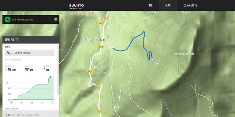
AllTrails, onX Hunt, GaiaGPS, and most other premium GPS apps have the ability to record your steps as you travel, making it much easier to find your way back to an earlier destination. This feature is also useful for sharing routes or following a similar path on a return visit. It's important to keep in mind that the real-time updates required to record a track have a significant negative effect on battery life.
Marking Waypoints
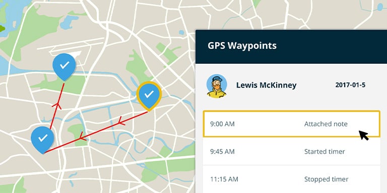
Waypoints can mark points of interest, important navigational landmarks and intended destinations. Most apps can calculate the distance between waypoints and even suggest a travel route that accounts for the local terrain and weather conditions. Setting and saving waypoints consumes very little battery power, but real-time navigation between them will use a lot more.
Point-to-Point Navigation
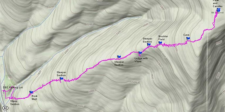
Also known as "line-of-sight navigation," point-to-point navigation is one of the oldest, simplest, and most effective ways to travel the wilderness on foot. It can be done without a GPS by choosing a unique landmark that you can see in the direction of your final destination, traveling to it and then picking a new landmark. Simply repeat this process until you get where you're going.
GPS apps make this process even easier by eliminating the need for a direct line of sight. Using your phone, you can locate obvious landmarks even if they're on the other side of a hill or in a canyon and chart an easy footpath to them; your phone will keep you on track and offer corrections using your phone's compass. This feature is especially helpful in places where you can't easily see the terrain ahead.
Reviewing, Syncing, and Sharing Trip Data
Virtually all GPS apps allow you to review detailed summaries of past trips, which can help you plot more efficient routes for future trips in the same area or even estimate how many calories you burned. If you're roughing it with friends who use the same app, you can also share data between your phones and sync it to your other devices. Some apps, like AllTrails, can use this data to help you stay safe by sending your itinerary to your emergency contacts or letting them check your location in real time (data signal permitting).
Cellular vs. Satellite-Based GPS Service

Before you roam too far outside the boundaries of civilization, it's critical to make sure you know exactly what your phone can and can't do for you in the middle of nowhere. A data connection is required to download the maps for any given area, whereas GPS satellites merely find and track your location on those maps. It's important to download maps ahead of time, while you still have cellular data service. GPS service on your phone is completely separate from cellular service, and will work anywhere in the world with an unobstructed view of the sky. If your GPS app is showing your position on a blurry, unintelligible map, you likely skipped this crucial step.
Managing Battery Life
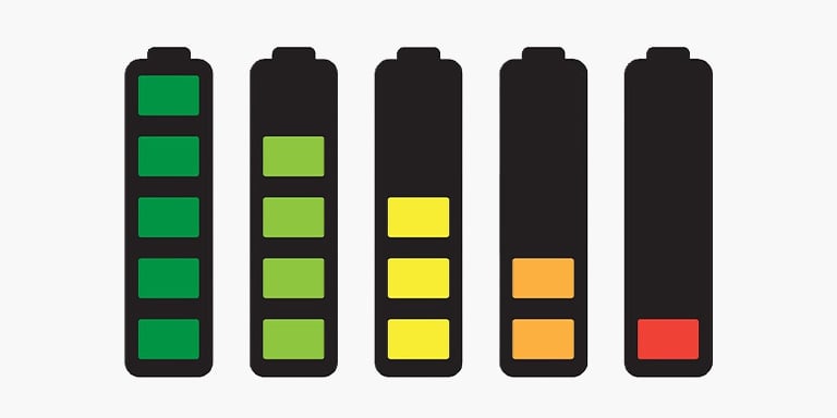
Establishing cellular service in remote areas is extremely taxing on your phone's battery. As you move in and out of coverage areas, your phone is constantly attempting to regain service. To prevent this, set your phone to airplane mode. That will turn off cellular service completely; however, your GPS service remains on allowing you to use the app (assuming you've downloaded your maps ahead of time). You can conserve even more battery power by disabling real-time tracking and only checking your position when needed.
If you'll be out in the bush for more than a day, be sure to pack a high-quality power bank to recharge your phone as needed. And if you're going somewhere cold, with average temperatures below 60˚F/15˚C, keep your phone inside your jacket or otherwise in direct contact with your body to help keep it warm. Smartphones use lithium batteries which work less efficiently in the cold, so you could find your battery dead sooner than you'd anticipated.
Most Popular GPS Phone Apps
The majority of people who regularly use GPS phone apps are casual adventurers, hardcore hikers or hunters, and some apps are tailored specifically for one of these groups. In this section, we'll offer a high-level overview of three of the most popular apps, one for each kind of user: AllTrails, GaiaGPS, and onX Hunt.
AllTrails

- Best for: General/casual joggers, bikers and hikers
- Platforms: Android, iOS
- Price: Free (basic version) or $20-$30 per year (pro version)
Pros:
- Great for finding dog and kid-friendly trails
- Custom maps
- Free version is enough for many users
Cons:
- Only works in the U.S. and very small parts of Canada
- Not suitable for deep wilderness outings
AllTrails is one of the best phone GPS apps for people who like to experience the great outdoors without venturing too far afield. It claims to have the largest database of trail maps: currently more than 100,000 of them. Users can search for and filter trails based on difficulty, length, elevation, popularity and more.
The app's overall goal is to help you integrate outdoor trips with your regular life as easily as possible. It offers driving directions to trailheads, pre-generated maps and community-curated routes and waypoints. Should you want to create your own path, that's easy too, and you can even print your custom maps so you'll have a backup if your phone fails.
Pro users enjoy expanded features like offline maps, real-time map overlays that monitor pollen, weather, air quality and more, and the LifeLine feature, which automatically sends your trip details to a designated emergency contact and notifies them if you don't return from your trip at the planned time (make sure you read up on basic survival medicine and how to find water in a survival situation in case things don't go as planned).
onX Hunt

- Best for: Hunters
- Platforms: Android, iOS, web
- Price: $30-$99 per year
Pros:
- Largest and most up-to-date database of land boundaries and hunt districts
- Powerful waypoint tools
- Easy import/export/sync features
Cons:
- Free version is nearly useless
Any hunter will tell you that the hardest part of a hunt often is making sure you stay in compliance with local laws and regulations. One of onX Hunt's most attractive features is its constantly-updated database of state-by-state public and private land boundaries, landowner information, game management units and walk-in sites. It can't handle your licenses and tags for you, but it can do most other hunter bookkeeping tasks.
Many of onX Hunt's most satisfied Pro users cite its waypoint tools as their favorite feature. The app allows you to mark an unlimited number of locations, measure distances between them, plan routes and effortlessly share that data with your other hunting buddies. It's great at finding shortcuts that can save you many miles of walking.
Pro subscribers can, of course, download maps ahead of time to ensure they'll still work in areas with no cell service. You can also designate favorite hunting areas and define their boundaries exactly so that you can load them with a single tap later. Unfortunately, nearly all of the app's features are paywalled; the free version offers only basic GPS navigation. But the price is more than fair ($30/year for a single state, $99/year for all 50 states).
GaiaGPS
- Best for: Middle-of-nowhere hikers, generalists who enjoy many outdoor hobbies
- Platforms: Android, iOS, web
- Price: Free (basic version) or $20-$40 per year (pro version)
Pros:
- Worldwide map database
- Free version has several useful features
- Best all-in-one app for hiking, biking, hunting and skiing
Cons:
- Specialists may want more features than a generalist app can offer
It's easy to see why GaiaGPS is among the top phone apps: It packs a ton of diverse features into a single (huge) download. It's the only app on this list that works anywhere in the world, and its price tag is eminently reasonable.
The free version offers more than most of its competitors' free plans, such as trip planning and recording, topographic maps and a large suite of (online-only) GPS tools. Membership-level paid subscribers enjoy offline and printable maps, including satellite and road maps, whereas premium members also get weather updates and a whole suite of tools for hunting, biking and skiing.
If GaiaGPS has a weakness, it's the same weakness that all generalists suffer: the more different things you try to do, the less well you do each one. Some hunters, skiers and bikers will find Gaia's basic tools satisfactory, but apps tailored to each purpose—such as onX Hunt for hunters—offer a wider selection of more in-depth tools that may justify the added cost and storage space for a second, more specialized app.
Standalone GPS units are still popular with outdoorsmen, but phone GPS apps are steadily catching up. Smartphones are smaller and they can, of course, do a lot more than help you navigate. Plus, you're likely to be carrying one everywhere you go anyway. Standalone GPS units still win in terms of battery life and durability, but as long as you bring a spare power bank and carefully protect your phone from damage, it can take you virtually anywhere you want to go.
Did you find this article helpful?
Related Articles
-
How to Build a Survival Kit
Being prepared is vital in a survival situation. We review the essential elements of building a basic survival kit.
Skills
137 others found this helpful -
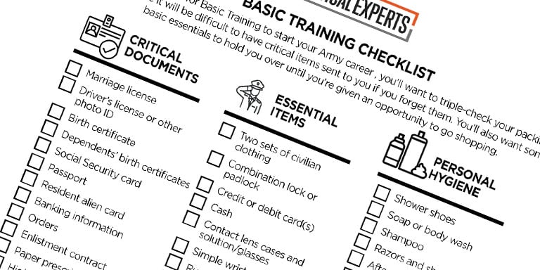
Bug Out Bag Checklist: The Essential Guide to Bugging Out
Our survival experts created the essential guide for packing the right emergency gear in your bug out bag.
Checklists
98 others found this helpful -
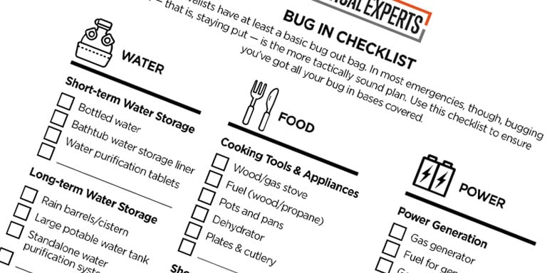
Bug In Checklist: The Essential Guide to Bugging In
Learn how to bug in if a disaster strikes. We laid out how to maximize your food and water supply and more in this guide.
Checklists
74 others found this helpful -
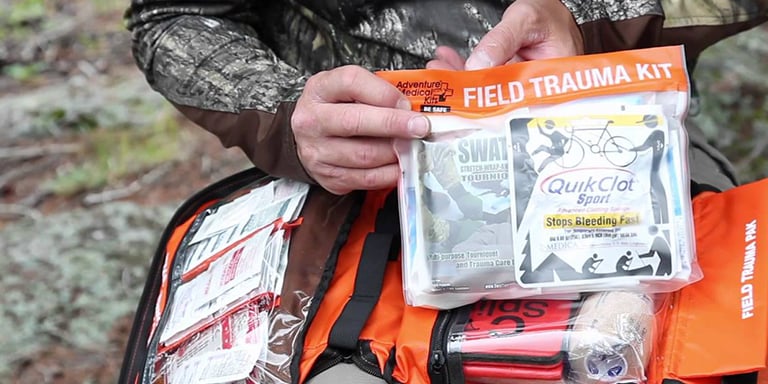
Basic Survival Medicine
Read both preventative and curative steps to help stay healthy in the wild, where it matters most.
Skills
41 others found this helpful -
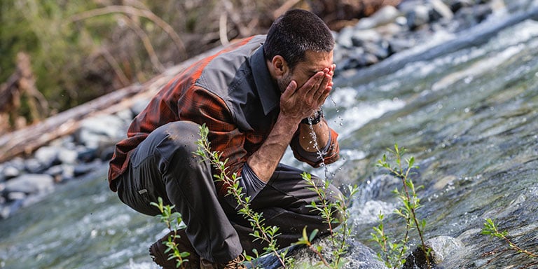
How to Find Water in a Survival Situation
Use this guide to establish reliable access to clean water, no matter what part of the world you’re in.
Skills
37 others found this helpful -
Map Reading Fundamentals
We lay out the basics of map reading and cover essential tools and terminology to help make land navigation simple.
Skills
34 others found this helpful
